
FOV
Peregrine Applied Sciences / El Paso, Texas
Make every sensor a cooperative node.
We build the sensing hardware, edge software, and mission architecture that let separate sensors, platforms, and networks operate as one coordinated system.
FOVEA
LOOKOUT
STOOP
Products
Software where coordination matters.
Hardware where physics matters.
Most units and agencies already own plenty of sensors. What they lack is one picture that holds up when the network doesn't. That is what we build.
01
FOVEA
Mission + edge software
Any sensor into one trusted picture, at every node, even when the network is cut
↗
02
LOOKOUT
Drone awareness for fire aviation and public safety
Drones near the fire, on the flight bag crews already carry
↗
03
LOOKOUT RID
Remote ID receivers for drone detection
Drone and pilot locations from FAA Remote ID, straight to TAK. Order online
↗
04
STOOP
GPS-denied navigation
Positioning when GPS and RF are denied
In development
FOVEA / Simulation
See the whole network in one picture.
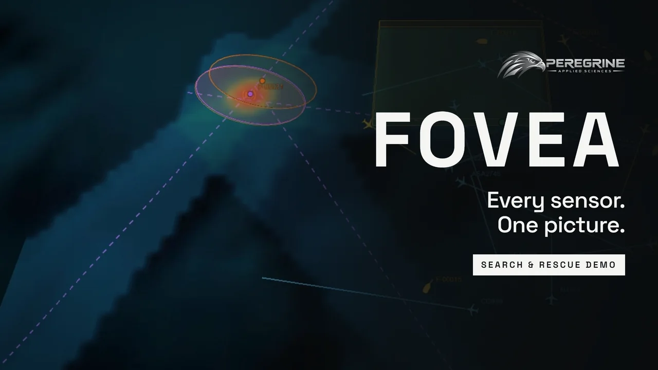
A simulated search-and-rescue mission: cooperating nodes, fused tracks from radar, RF, TAK and ADS-B, and tasking you can audit. More on FOVEA ↗
Working with
Built in El Paso's defense ecosystem.



Latest