FOVEA / Mission + edge software
FOVEA
Every sensor. One trusted picture. Even when the network is cut.
FOVEA turns the radars, cameras, radios, drones and reports a unit already has into one shared picture of what is moving, at every node. It keeps that picture working through network outages, shows where every piece of information came from, and helps put the right asset on the right target.
FOVEA C2 / Simulation
From first detection to dispatch.
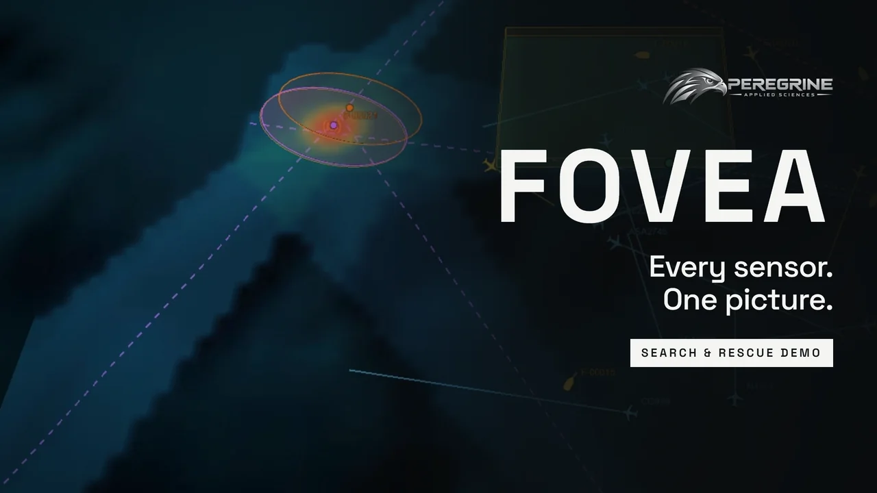
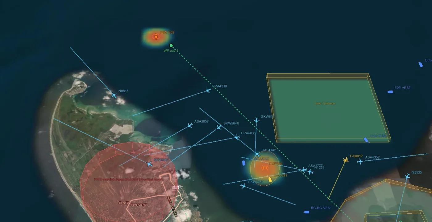
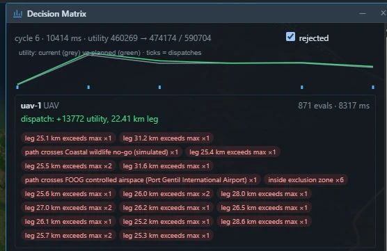
A full search-and-rescue walkthrough run end to end in FOVEA's simulation harness: cooperating nodes, fused tracks with their sources, and tasking that shows its reasoning, including every option it rejected and why. Every track, node and event shown is simulated.
How it works
Sense. Normalize. Fuse. Coordinate.
Whatever a sensor reports, FOVEA translates it into one common language, combines it with everything else into single tracks that keep their sources, and shares the result with the people, systems and assets that need it.
Connects to: radar, RF and direction finding, EO and thermal cameras, acoustic arrays, LiDAR, drone payloads, software radios, ADS-B, AIS, drone Remote ID, TAK / ATAK, operator reports and partner sensor networks. New sensors join through FOVEA's open sensor kit without changes to the core.
Key features
Built for the edge, not the lab.
Any sensor, one picture
Radar, RF, cameras, thermal, acoustic, LiDAR and cooperative reports combine into single tracks instead of separate screens.
Works disconnected
Every node keeps sensing and deciding through network outages, then rejoins the shared picture automatically. There is no central server to lose.
Trust you can audit
Every track shows which sources contributed and when. Every tasking decision shows its reasoning and the options it rejected.
Anything can cue anything
A detection from any source, whether a sensor, an operator or a TAK report, can point another sensor or asset to find, confirm and track the target.
Keeps working without orders
Uncrewed assets that lose contact with command keep up useful coverage within set limits, then return.
Automatic alerts
Flags keep-out intrusions, loitering, impossible movement and likely spoofing, so operators see what matters first.
Fits existing systems
Feeds TAK and Anduril Lattice in standard military map symbols, so the picture shows up where crews already work. Security and supply-chain controls are designed in.
Runs where the mission is
Rugged edge computers, including NVIDIA Jetson-class hardware, standard servers, Android radio nodes and fully air-gapped sites.